Hasan Musana
Higher Degree by Research Candidate
School of Biological Sciences
Faculty of Sciences, Engineering and Technology
I am interested in the utilization of Remote Sensing and GIS technologies for conducting environmental research.
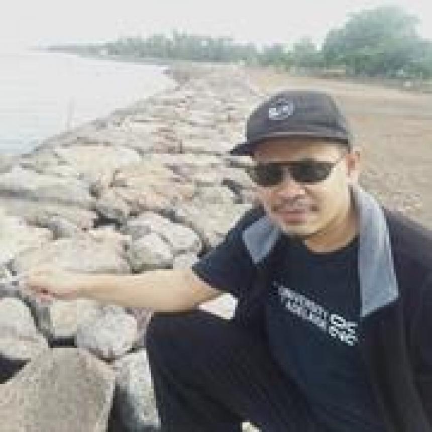
My research focuses on Remote Sensing and GIS-based Modelling for Coastal Erosion Susceptibility Mapping. Satellite imagery is used to investigate the shoreline and land-form changes in the coastal area. While the power of GIS technology for storing spatial and non-spatial data is used to generate coastal erosion susceptibility map.
-
Appointments
Date Position Institution name 2019 - 2020 Head of Regional Innovation and Development Regional Development Planning Agency of Pandeglang Local Government, Indonesia 2017 - 2019 GIS Officer for Environmental Development Regional Development Planning Agency of Pandeglang Local Government, Indonesia 2005 - 2017 GIS Officer for Disaster Mitigation Mining and Energy Agency of Pandeglang Local Government, Indonesia -
Language Competencies
Language Competency English Can read, write, speak and understand spoken -
Education
Date Institution name Country Title 2015 - 2016 Flinders University Australia Master of Geospatial Information Science -
Research Interests
2020 - Indonesia Endowment Fund for Education
2015-2016 - Australia Awards Scholarships
-
Memberships
Date Role Membership Country 2021 - ongoing Member IEEE Geoscience and Remote Sensing Society United States 2020 - ongoing Member Surveying and Spatial Sciences Institute (SSSI) Australia 2019 - ongoing Member Indonesian Surveyor Association Indonesia
Connect With Me

External Profiles
